placeholder

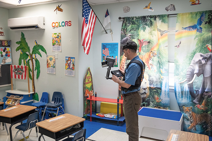
How to Map Schools for 911 with the TrueView GO

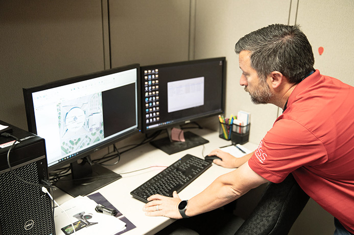
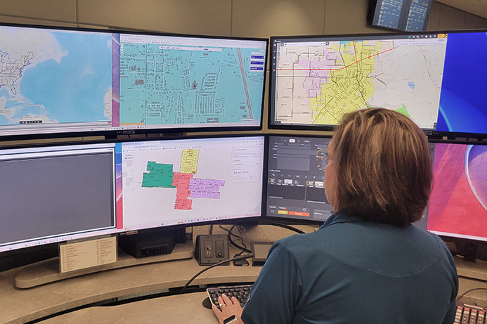
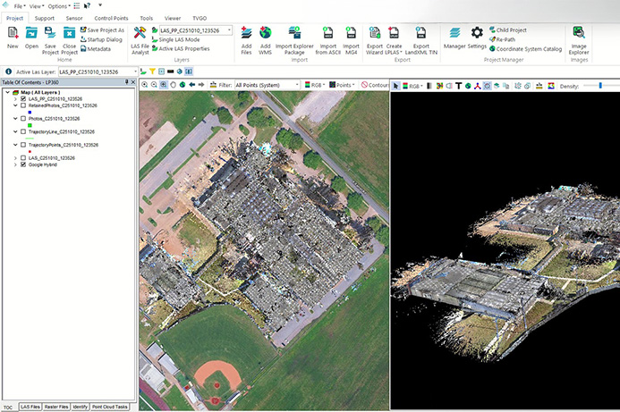
How Fenstermaker is helping 911 and first responders save time by digitally mapping schools with the TrueView GO

Fill out the form and watch Episode 1 of Down to Earth, a reality surveying show.
On this episode we feature Fenstermaker 

placeholder

placeholder

placeholder

placeholder

placeholder

DRONE SURVEYING REALITY SHOW 

Fill out the form & watch Episode 1 of 
Down to Earth: Mapped Safe for 911

In this new season of Down to Earth, we follow C.H. Fenstermaker & Associates, an engineering and surveying firm dedicated to improving school safety, one scan at a time.

When the Lafayette Parish School System needed accurate indoor maps for every campus, Fenstermaker partnered with NEI and turned to the TrueView GO handheld LiDAR scanner to deliver. Together, they’re creating detailed 3D digital twins of schools that feed directly into 911 dispatch systems, giving first responders real-time situational awareness before they arrive on scene.

From setup to scan to final integration with public-safety CAD systems, Fenstermaker proves that handheld LiDAR isn’t just changing workflows, it’s helping protect our most valuable assets: students and teachers.

Watch how this community-driven project came together in Down to Earth: Mapped Safe for 911 and discover how you can use the TrueView GO to help your schools get Mapped Safe for 911.

WATCH FULL EPISODE

Down to Earth: A Drone Surveying Reality Show