
How to Map Schools, Measure Dirt and Move Faster
Fill out the form and watch Episode 1 of Down to Earth a reality surveying show.
On this episode we feature LETEL
How to Map Schools, Measure Dirt and Move Faster
Fill out the form and watch Episode 1 of Down to Earth a reality surveying show.
On this episode we feature LETEL

DRONE SURVEYING REALITY SHOW
LETEL is back on Down to Earth.
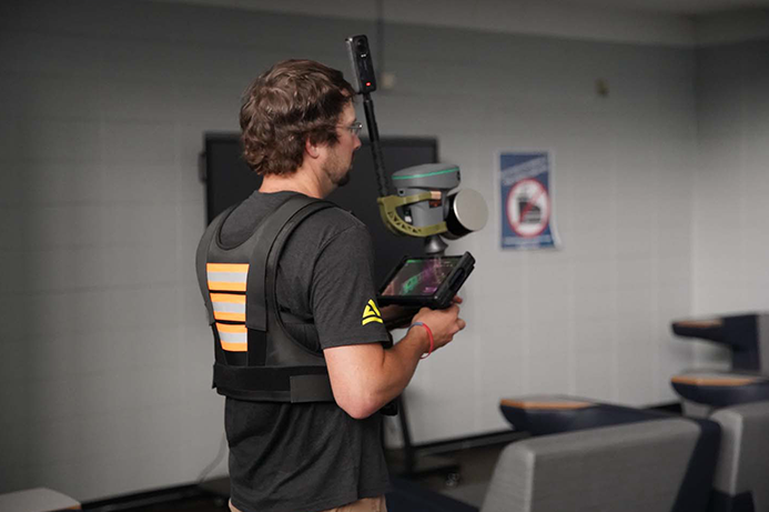
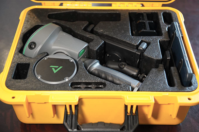
After showing us how they use drone LiDAR to gain the Aerial Advantage, John Downing and the LETEL team are taking their mapping skills back down to earth with the TrueView GO handheld LiDAR scanner.
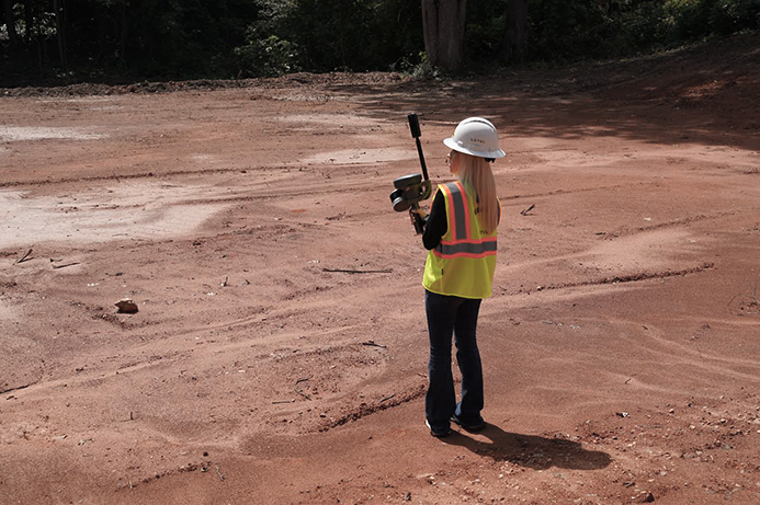
In this new series, Mapping on the GO, we return to Buchanan, Georgia to see how LETEL is using the TrueView GO to move faster, collect better data and deliver more complete results for schools, construction sites and land development projects.
Watch as the team maps schools for first responders, captures critical floor plan details, evaluates construction sites, compares handheld LiDAR to traditional collection methods and pairs TrueView GO data with aerial LiDAR to get the complete picture.
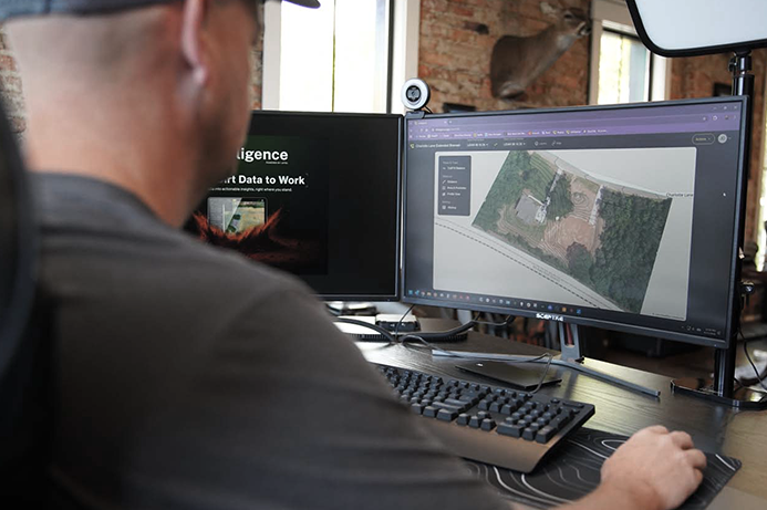
With TrueView GO and LP360, Letel can move quickly, work efficiently and turn detailed 3D data into deliverables their customers can use. See how on an all new Down to Earth series: Mapping on the GO